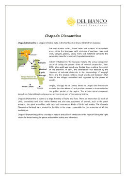
IDENTIFICATION OF AREAS WITH BIGGEST EVENT OF FIRES IN THE
CHAPADA DIAMANTINA, BAHIA - BRAZIL, FROM OF REMOTE SENSOR DATA
BONFIM SILVA, Thaiane 1; FRANCA ROCHA, Washington de Jesus Sant'Anna da2.
1
A Master's Program of Postgraduate Modelling in Earth Sciences and Environment - PPGM /
State University of Feira de Santana - UEFS. E-mail: [email protected]
2
Associate Professor, State University of Feira de Santana - UEFS. E-mail:
[email protected]
ABSTRACT
The fires in vegetation have been shown in several studies as one of the main factors
that affect and threaten the conservation of biodiversity in environmental systems. In Brazil, in
state of Bahia, the region in Chapada Diamantina is one of the most affected by constant
burning, requiring huge financial input in the control and fight fires. Data hotspots obtained
through remote sensing, have been used to identify areas of fire occurrence. From these data,
information about the possible location and extent of affected areas are generated, showing the
dynamic temporal / spatial distribution of fires in the area of interest. To identify areas of
greater intensity of fires occurring in the Chapada Diamantina, this study aimed to analyze the
spatial behavior of hot spots between the years 2000 to 2010 from the kernel intensity estimator.
Data were collected from georeferenced points of hotspots in shapefile format, existing for the
Chapada Diamantina and provided by INPE. Organized a geographical database, and then at
ambient GIS modeled distribution pattern of the set of points. To represent the result of this
interpolation estimator five classes have been defined density. This process allowed a
qualitative view of the hotspots in the region of interest. Analysis of the distribution of points of
hotspots per year, there was a higher incidence in the years 2003, 2007 and 2008. In the latter,
(2008) the number of foci was even higher, focusing on spatially track southeast of the study
area, between the towns of Mucugê, Ibicoara and Andaraí. The period which had the lowest
occurrence of outbreaks was in 2006. Analyzing the density distribution of hot spots observed
from the use of statistical method Kernel intensity estimation, there were 3 large spots in the
class of very high density, concentrated in the northeast and southeast of the study area between
the municipalities of Seabra, Andraí, Mucugê, and Ibicoara Iraquara.
Key Words: Fire on vegetation, Environmental Degradation, Spatial Modeling, Focus Heat,
Remote Sensing.
REFERENCES
DRUCK, Suzana. et al.. EMBRAPA CERRADOS. Análise espacial de dados geográficos.
Planaltina, DF: EMBRAPA Cerrados, 2004. 209p.
FRANÇA, D.; FERREIRA, N. J. Considerações sobre o uso de satélites na detecção e avaliação
de queimadas. In: Simpósio Brasileiro de Sensoriamento Remoto (SBSR), 12., 2005, Goiânia.
Anais... São José dos Campos: INPE, 2005, p. 3017-3023.
JENSEN, John R.. Remote sensing of the environment: an earth resource perspective.
2.nd.ed Upper Saddle River: Prentice Hall, c2007. 592p.
MCT – MINISTÉRIO DA CIÊNCIA E TECNOLOGIA. Comunicação Inicial do Brasil à
Conveção-Quadro das Nações Unidas sobre Mudança do Clima. Brasília: Ministério da
Ciência e Tecnologia. 274 p., 2004.
Download